Thailand's ports and property: freight, cruises, where to live
In Si Racha, the cranes of Laem Chabang define the skyline; in the bays of Phuket and Samui, it is the cruise ships. Thailand's national plan, published on 5 October 2026, gives each of these ports a role: freight for the industrial East, cruising for the islands, Gulf crossings for passengers. It wants to make Phuket, Samui and Laem Bali Hai cruise home ports, and to link the two seas via Chumphon and Ranong. For anyone choosing where to live, a port says a great deal about a place: the jobs it brings, the traffic it draws, the access it opens.
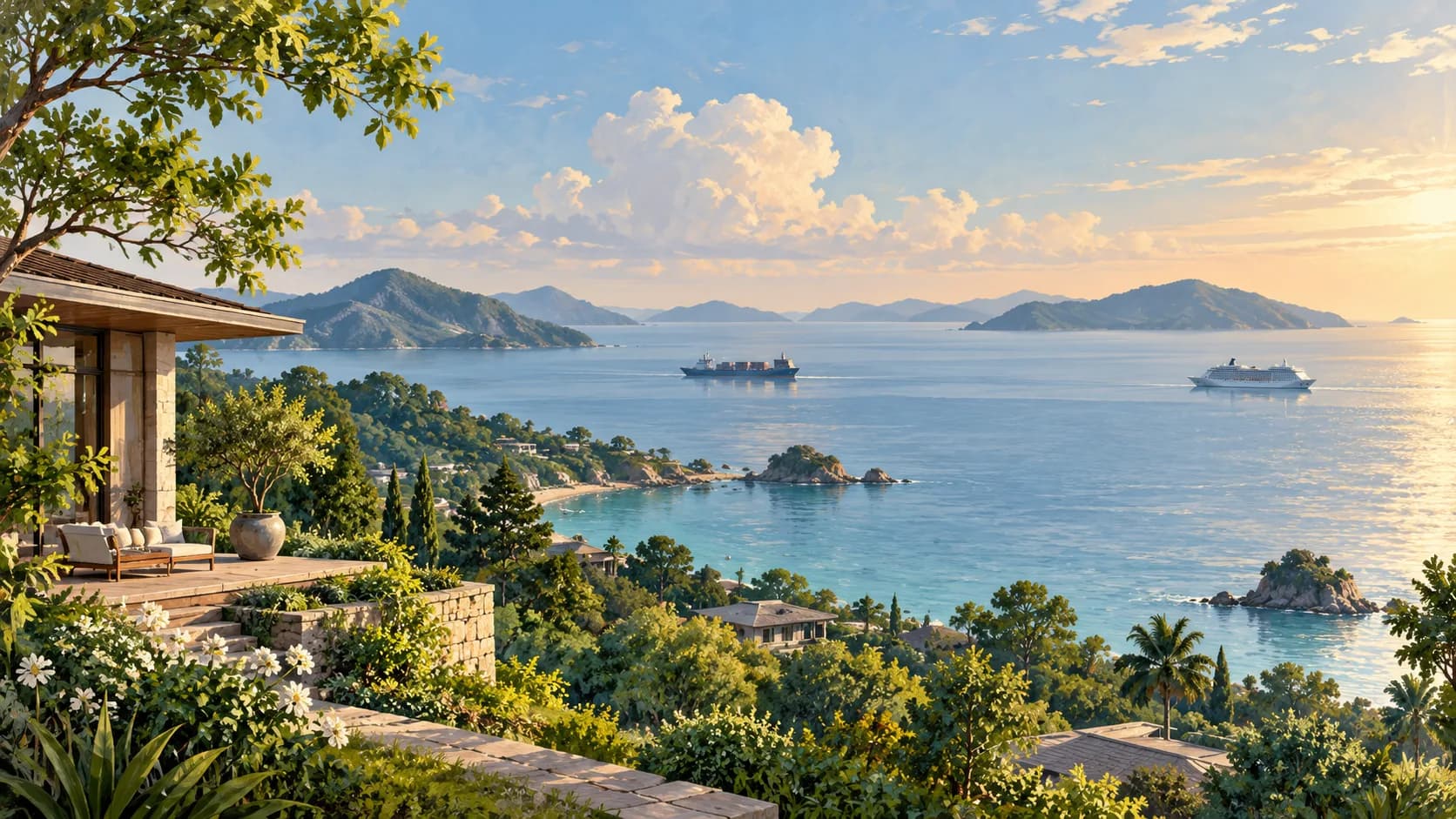
What does a port change for the town around it?
A port sets the jobs, the traffic and the rhythm of the town around it. In Si Racha at shift change, factory shuttle buses pass the lorries heading down to Laem Chabang: that is where you understand, better than in any brochure, what Thailand's national spatial plan expects of the eastern coast. Its diagnosis names Laem Chabang, Bangkok and Map Ta Phut as the main gateway ports for foreign trade, and notes that only Laem Chabang handles current volumes comfortably, on printed page 150. Our article on Pattaya and the EEC employment area follows what this means for finding a home.
The Department of Public Works and Town & Country Planning, or DPT, turns this into a programme. It aims to increase the capacity of these three freight ports and make them Smart Ports, on printed page 151, PDF page 154 of the plan published on 5 October 2026. The same page distinguishes two other functions: large-scale cruising, with three areas to improve — Ko Samui district, Phuket province and the Bangkok–Chon Buri coast around Laem Bali Hai — and passenger links across the Gulf, with the ports of Chuk Samet and Pranburi. It also provides for upgrading coastal piers in nine provinces, from Trat to Satun, including Phuket, Phang Nga, Krabi and Surat Thani.
These three functions speak to different buyers. An engineer posted to a plant at Map Ta Phut looks for a home within reach of the job; a couple who winter in Phuket look at the bay where the cruise ships anchor; a Bangkok family thinking about Hua Hin has weekends in mind, then retirement. For the first, the port is an employer; for the second, a neighbour that follows the rhythm of port calls; for the third, a way in.
What openings do the Gulf and Andaman coasts offer?
The most visible is cruising. The plan wants to make Thailand the cruise hub of South-East Asia, and to turn Phuket, Laem Bali Hai and Samui into home ports for upmarket cruises, built to international standards, while Laem Chabang's A1 berth would be renovated, on printed page 244. A home port is where cruises begin and end, not a stop of a few hours: passengers arrive there by road or by air, and leave the same way. The tourism section adds upgrades to four cruise piers — Bangkok, Laem Chabang, Phuket's first pier and Krabi's — on printed page 139.
For a buyer in Phuket or Samui, the question becomes very concrete: where is the terminal in relation to the bay you are looking at, and what happens to the access road on arrival days? The plan names ports; it does not draw terminals, so the distance between a pier and a development is checked against documents once the project has been located. Our guide to living in Phuket describes the island's neighbourhoods and how they are reached.
The second opening links the two seas. The plan presents the Chumphon–Ranong axis as an “economic bridge” between the Pacific and the Indian Ocean, intended to cut the cost and time of moving goods and reduce dependence on the Strait of Malacca, on printed page 13. It provides for a connection between the ports of Chumphon and Ranong to link the two coasts, on printed page 152, PDF page 155, a new double-track railway between the two towns (printed page 157) and logistics equipment for the ports of Ranong, Chumphon and Phuket (printed page 232). Ranong, a province of mangroves and hot springs facing Myanmar, would then change scale.
On the Gulf, the opening concerns Hua Hin and its coast. The table of measures presents Chuk Samet and Pranburi as the two ends of a passenger link between the eastern and western shores of the Gulf, on printed page 163: Chuk Samet on the eastern shore, Pranburi south of Hua Hin. The regional framework for the Central region wants to make the Cha-am–Hua Hin “Royal Coast” an upmarket international seaside destination, on printed page 42, and Prachuap Khiri Khan, Hua Hin's province, is one of the plan's twenty-two international tourism hubs (printed page 137).
How do you distinguish a port, a project and a service?
First by its function, which tells you what it will bring to the neighbourhood. A freight port brings jobs, lorries and logistics zones; a cruise terminal, groups arriving in step with port calls; a passenger pier, an access whose value depends on an operator, a timetable and a road to the property. The same word covers three very different kinds of neighbour.
Then by its status. A direction in the plan designates a place and a function; a study examines a project; a contract commits a structure; a progress report describes a component on a given date; a service in operation is proved by its timetable. The table below sorts the ports mentioned according to these stages.
| Location | Documented function | Status and date retained | Residential question to examine |
|---|---|---|---|
| Bangkok, Laem Chabang, Map Ta Phut | Freight and Smart Port improvement | DPT targets, publication on 5 October 2026 | What relationship exists with work and address-level access? |
| Samui, Phuket, Bali Hai | Large cruise ships | DPT improvement areas, same publication | What role would this access play in household uses? |
| Chuk Samet and Pranburi | Gulf passenger connections | DPT targets, same publication | Which documented service serves the intended journey? |
| Chumphon–Ranong | Connection between maritime coasts | DPT direction; OTP coordination on 11 September 2026 | Which corridor stage and territory are being followed? |
| Hua Hin | Urban public transport | DPT recommended project, publication on 5 October 2026 | Which local journeys need documenting for the home? |

Finally, by what the plan already says about the places. It classifies the Map Ta Phut sub-district and five neighbouring sub-districts of Rayong, including Ban Chang, as a pollution control zone, along with the districts of Hua Hin and Pranburi and Phuket province, on printed page 195. The same page lists among the environmental protection areas the districts of Bang Lamung and Sattahip, part of Ko Samui and Ko Pha Ngan, the coast from Cha-am to Pranburi and Phuket province. These classifications are governed by their own regulations: they are checked at the address, before any offer.
Then there is the rhythm. The same street does not live the same way on a cruise-call day and an ordinary day, in high and low season, at factory shift change and on a Sunday morning. Before buying near a port, the most instructive viewing is the one made at the wrong moment: when the lorries pull out, or on the morning a cruise ship arrives.
Where do Laem Chabang, Map Ta Phut and U-Tapao stand?
They are moving forward component by component, and it is in the East that port works are best documented. The plan's measures for the Eastern Economic Corridor bring together Laem Chabang phase 3 and its terminal F, intended to increase container and vehicle capacity, Map Ta Phut phase 3 and the high-speed rail link connecting three airports, on printed page 186, PDF page 189, published on 5 October 2026. The following page adds U-Tapao and an eastern “airport city” within a 30 km radius of the airport. The second airports for Chiang Mai and Phuket are covered in our article on the Lanna and Andaman airports.
For Laem Chabang, the government statement of 5 June 2026 reports figures from the Port Authority of Thailand, or PAT, as of 29 May 2026: 95.57% progress on marine works, 19.82% on networks and utilities. These are two separate components, not an overall rate. The same text mentions technical and contractual issues over the handover of the F1 and F2 sites, and at the time expected F1 to open in 2031.
At Map Ta Phut, the report of the Eastern Economic Corridor Office, or EECO, covering October–December 2025, printed page 5 / PDF 6, separates two phase-3 works: the land reclamation and infrastructure of the first stage, certified complete on 4 April 2025, and the superstructure of the gas port, for which a notice to proceed dated 2 October 2025 set the start of works for 15 October.
At U-Tapao, the EECO statement of 3 April 2026 describes a start with support works, following the agreement of 29 January 2026. It states that the Navy is building the second runway and taxiways, with completion then expected in November 2028.
For a buyer, these works map out a geography of employment more than a deadline. The plan already counts Laem Chabang and Map Ta Phut among the nineteen subregional centres in its baseline, on printed page 59, and wants to promote Si Racha and Ban Chang to “City” rank (printed page 60). It is around these towns that the question of housing for employees arises: within reach of the job, with a close look at the sub-district's classification and at the routes the lorries take.
Samui, Land Bridge, Hua Hin: where do the projects stand?
In Samui, the cruise terminal is at the public-private partnership study stage. The OTP minutes of 3 July 2026 describe a meeting of the Office of Transport and Traffic Policy and Planning, or OTP, with the Marine Department and the consultants, after which further information was requested before the proposal is submitted under the PPP procedure.
For the Land Bridge, the OTP minutes of 11 September 2026 bring together the Department of Highways, the State Railway of Thailand and the consultants around three preparatory workstreams: selecting a private partner, designing the Chumphon–Ranong motorway and the Definitive Design of the standard-gauge railway. The corridor is at the design stage; this document attests to the construction of neither the ports nor the axis.
Hua Hin is a special case. The plan recommends urban mass transit there in its section on recommended projects, separate from the list of seventeen targeted cities that precedes it, on printed page 153, PDF page 156, published on 5 October 2026. It justifies the choice by the town's rank as a subregional centre, its future role as a hub for high-speed rail and motorways, and its capacity to receive visitors to the Gulf. The table of measures also lists the Bangkok–Hua Hin and Hua Hin–Surat Thani high-speed lines (printed page 156) and classifies Hua Hin's urban transport as a “new recommendation” (printed page 166). For a buyer, it is a lead to follow, not yet a network.
When we model a choice between the coast and economic access
Take two fictional households. Somchai and Laura, both engineers, are joining a plant at Map Ta Phut and are looking for a home for four or five years. Graham and Linda, a few years from retirement, split their time between Bangkok and the sea and are torn between Hua Hin and Pranburi.
Somchai and Laura put the plant on the map, then three possible areas: Rayong town, Ban Chang and a district further out, towards the sea. They note that Map Ta Phut and Ban Chang are among the sub-districts in the pollution control zone, and make each journey at the hours of their shifts rather than on a Sunday. For them, the Laem Chabang and Map Ta Phut works remain an indicator of employment, not a criterion for an address.
Graham and Linda compare a flat in the centre of Hua Hin with a house in Pranburi. Both addresses lie in districts classified by the plan, which leads them to ask, for each, which rules apply to the plot. They note the recommended urban transport and the Gulf link as options, without treating them as a selling point.
Both households decide. Somchai and Laura rent in Rayong town first and give themselves a year before buying, once their journeys have been tested. Graham and Linda buy the flat in central Hua Hin, for the hospital and the shops within walking distance, and keep Pranburi for a second step. In both cases, the port and its projects informed the choice without dictating it.
Modelled scenario. This profile is not a client; the parameters are working assumptions.
What you can do now
Start from an address, then look at the nearest port. Note its function — freight, cruise or passengers — check whether the sub-district appears among the zones on printed page 195 of the plan, then make the journey to work, school or healthcare at the times you would really make it. Only then add the projects, with their date and status. Our map-based guide catalogue places these layers around the home you are considering.
Frequently asked questions
Which Thai ports does the plan want to expand for freight?
Three: Bangkok, Laem Chabang and Map Ta Phut, which are to gain capacity and become Smart Ports. According to the plan's diagnosis, Laem Chabang is the only one of the three handling today's volumes without difficulty. In the East, the flagship measures are its phase 3 with terminal F, for containers and vehicles, and phase 3 at Map Ta Phut, devoted to industrial logistics.
What does the 95.57% figure at Laem Chabang represent?
Progress on the phase-3 marine works alone, measured on 29 May 2026. The government published it on 5 June using Port Authority of Thailand data, alongside 19.82% for networks and utilities. Reading 95.57% as completion of the port would be a mistake: each component moves at its own pace, and the opening of F1 was then announced for 2031.
What is a cruise home port, and which ones are planned?
It is the port where a cruise starts and ends, as opposed to a simple port of call. The plan targets three at this level for upmarket cruising: Phuket, Laem Bali Hai on the Chon Buri coast, and Samui. It also provides for renovating Laem Chabang's A1 berth. In Samui, the public-private partnership study for the terminal was still being prepared in July 2026.
Has Hua Hin's urban transport been decided?
No, it has been recommended. The plan places Hua Hin in its section on recommended projects, apart from the seventeen cities targeted for mass transit, and its table describes it as a “new recommendation”. It rests on the town's rank as a subregional centre and its future place in the high-speed network. No route appears in these pages: it is an intention to follow.
Living near an industrial port: what should you check?
Start with the environmental classification. In Rayong, the plan places Map Ta Phut, Ban Chang and four other nearby sub-districts in a pollution control zone. Then come the commute at shift-change times, heavy-goods traffic and everyday services. A port project tells you about the jobs it creates, not about the quality of life in a street next door.
Method and sources
Sources checked October 12, 2026
Exchange rate used: 1 EUR = 38.374 THB (28 September 2026)
- What this article relies on: the DPT national plan published on 5 October 2026, read in the original Thai, and five dated primary sources (Thai government, EECO, OTP), checked on 12 October 2026 and reread on 13 October. Translations are editorial; the households in the scenario are fictional. Each percentage or works date applies to its own component and to the date of its source.
- DPT, national plan 2026–2037, published on 5 October 2026, printed page 151 / PDF 154; see also printed pages 13, 42, 59–60, 137, 139, 150, 157, 163, 166, 187, 195, 232 and 244 (PDF page = printed page + 3).
- DPT — Printed page 152 / PDF 155
- DPT — Printed page 153 / PDF 156
- DPT — Printed page 186 / PDF 189
- Thai government, 5 June 2026
- EECO, October–December 2025 report, PDF 6
- EECO, 3 April 2026
- OTP, meeting on 3 July 2026
- OTP, meeting on 11 September 2026
This article is general information, not legal or tax advice. The rules cited are dated: check with a qualified professional that they are still in force before acting.